Lazy Toad Web Pages
Toad Photo Galleries Trails
- Barnwell Mountain
- Black Gap
- Blackrock Desert
- EDRA: Hwy 101
- Elephant Hill
- Engineer Pass
- Fins N Things
- The Maze
- Metal Masher
- Poison Spider/
Golden Spike/
Gold Bar Rim - Rimrocker
- The Rubicon
- Schnebly Hill
- Top of the World
- Toroweap
- White Rim
Other

Team Toad: Rimrocker, Montrose to Moab
 My son Dan and I were in Moab the weekend of September 21st, 2024.
We wheeled Fins N Things on Sunday,
then on Monday we left Moab and I dropped him off at the Grand Junction
Airport. I then drove an hour south to Montrose, Colorado.
Monday afternoon I met David and Barbara Rainey in Montrose for a week of intense wheeling, including the Rimrocker Trail and the White Rim Trail. Last year, 2023, the Raineys and I wheeled the the Maze.
We took advantage of the afternoon to visit Black Canyon of the Gunnison NP, stopping at most of the overlooks along the way.
The park was actually crowded, so as sunset approached, it was hard to find open parking spaces. We went past Painted Wall and Cedar Point overlooks, but found spots at the Dragon Point Overlook.
We were treated to a gorgeous sunset that lined up perfectly with the Gunnison River below.
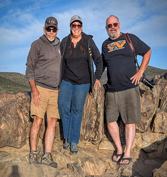 David & Barbara Rainey, me |
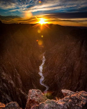 The Gunnison River |
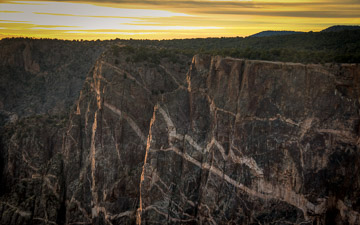 The Painted Wall |
Day One (Tuesday, 9/22, 2024)
On Monday it had taken me less than 3 hours to drive from Moab, Utah to Montrose, Colorado by interstate and highway. On Tuesday our goal was to follow the Rimrocker Trail back to Moab on dirt roads, which we planned to do in 3 days.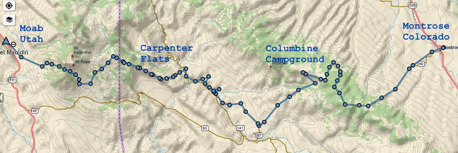
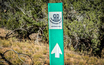
According to Webster's dictionary, rimrock is a "top stratum or overlying strata of resistant rock of a plateau that outcrops to form a vertical face."
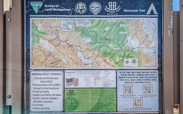 The trail is a group of mostly preexisting roads and trails that
were combined in 2016 to provide a route from Montrose to Moab.
Much of the trail is along the rims of the Dolores and Paradox
canyons, so maybe that's the origin of the name.
Heading southwest from Montrose we stopped at the Electric Hills Trailhead parking lot to air down and visit the portapotty.
From there we headed west into the Uncompahgre National Forest. In the Ute language, uncompahgre means "rocks that make water red." (Wikipedia).
Since the trail includes several existing trails, there are lots of opportunites for side trips along the way. For example, on day one we detoured off the main Rimrocker trail to do part of the Roubideau Loop. The part of the trail was quite a bit rougher than the main trail.
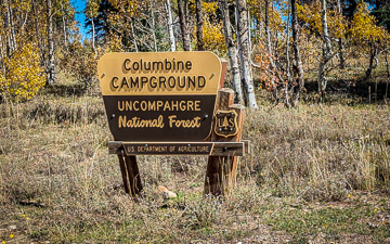
Our first stop was a first-come, first-served spot in the Columbine Camground. Note that there is a similarly named campsite west of Denver that does take reservations and charges fees.
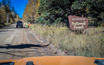 The Uncompahgre NF |
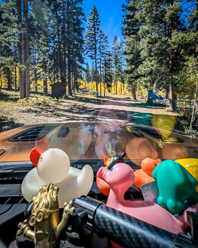 CO-90 |
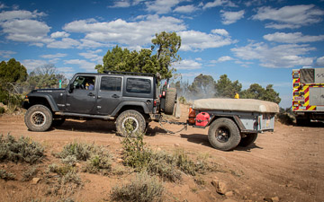
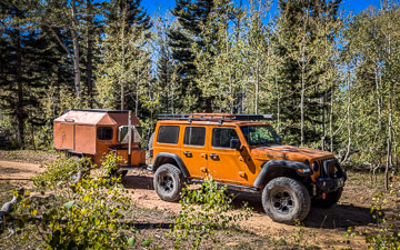 The Toad Rig on the Roubideau Loop |
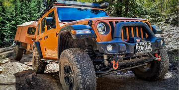 Photo by Barbara Rainey |
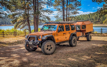
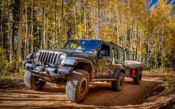 The Rainey's JK Rubicon |
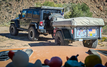 The Rainey's tent trailer |
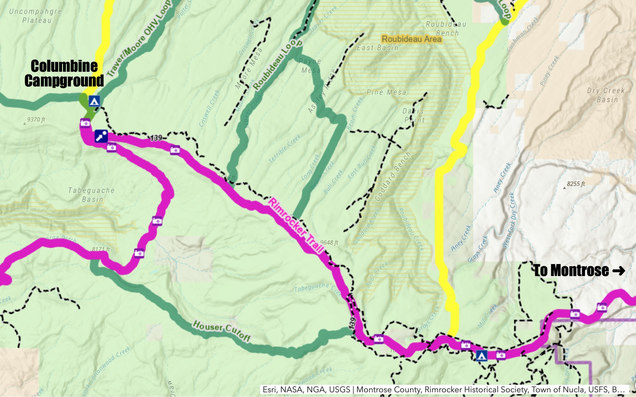 The Roubideau Loop |
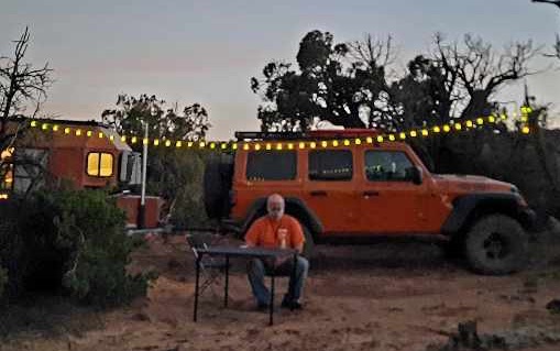
 Camp site day one |
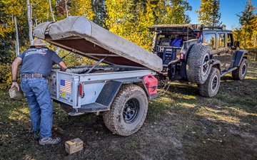
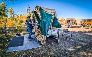
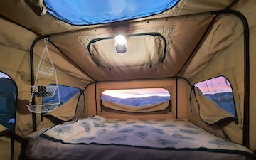
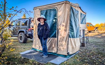
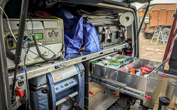
The Rainey's Tent Trailer
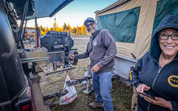
David and Barbara have an amazing tent trailer. There's a large bed with a folding tent over it. I was blown away when Barbara told me that David designed it himself.Their JK Rubicon has a sweet set of sliding drawers in the back, along with an ARB fridge and a battery system.
|
|
|
|
|
|
Day Two (Wednesday, 9/23/2024)
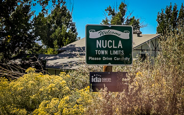
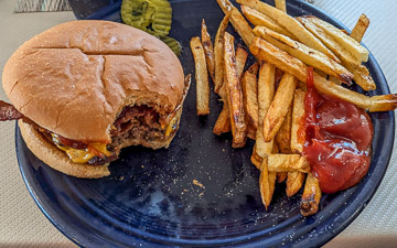
Less than an hour after breaking camp "at the crack of noon", we were in the town of Nucla. After fueling up at the local gas station, David and I were talking on GMRS channel 21 about where to have lunch, when a voice came over the radio recommending the 5th Avenue Grill.If you can't trust an anonymous voice over general mobile radio, who can you trust?
As it turned out, the food was great and the service was great, too.
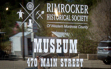
Before heading back out on the trail, we stopped at the Rimrocker Historical Society to learn more about the towns of Nucla and Uravan.
I asked the museum guide what a rimrocker was, and she said they were outlaws who hid from the authorities in the rocky canyons in the area. So that would give a different reason for naming the trail.
Much of the exhibit concerns the abandoned town of Uravan, short for Uranium and Vanadium, which were mined in the area from 1935 to 1985. The federal government declared the town unsafe due to radioactivity, and the town was closed and remediated as a superfund site.
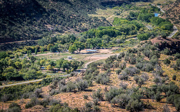
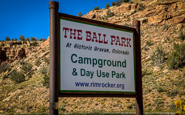
The Rimrocker Historical Society maintains a campground called The Ballpark at the site of the original Uravan town. We stopped briefly at the Ball Park to use the rest rooms before heading onward.
One attraction we missed was the Hanging Flume, which was only a couple of miles from our route.
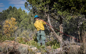
About 4pm we spotted a plume of smoke about 15 miles to the west, and we'd heard there was a controlled burn in the area. Thanks to my StarLink we were able to text the Montrose County dispatch and got a text back that the trail was indeed open.
We crossed over the Dolores River (on a paved bridge), and headed up the side of Paradox Canyon in Carpenter Flats.
Most of the dispersed campsites were already in use by fire fighters, so we grabbed the first open camp site we could find.
Day Three (Thursday, 9/24/2024)
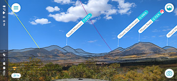
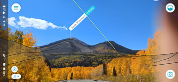
Thursday morning we broke camp and headed down the north rim of the Paradox Valley towards Buckeye Reservoir. Along the way we saw more fire fighters wetting down hot spots left from the fire.I've included a couple of screen shots from the Peak Visor app, which overlays a line drawing of mountain peaks over your smart phone camera view. It's fun and educational to be able to answer the question, "which mountain is that" in less than two minutes.
The app depends on downloading data from the internet, but since I had StarLink running in roam mode the entire trip, the app could always access its database.
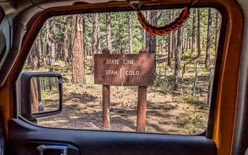
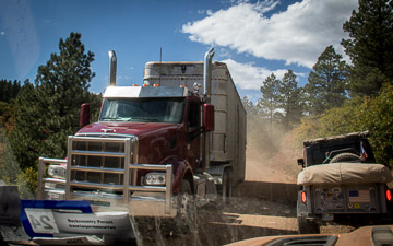
After eating lunch at Buckeye, we headed west into Utah on Geyser Creek Road. In spite of being basically a 4wd road, it also serves big trucks carrying cattle to market.
The main Rimrocker Trail continues towards Moab on Road 0128, passing south of South Mountain (elevation 11,810 feet).
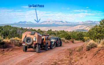
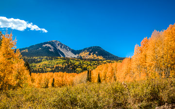
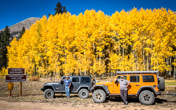
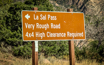
But we continued north on La Sal Pass Road. The La Sal Pass, between South Mountain and Mount Tukuhnikivatz (elevation 12,482 feet, "Mount Tuk" for short). Tukuhnikivatz is a native word meaning "where the sun sets last".
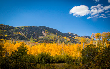
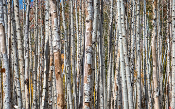
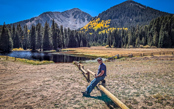
The Aspens in the La Sals were right at peak color, so we gots lots of great photos. We stopped at Medicine Lake near the pass.
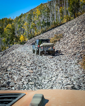
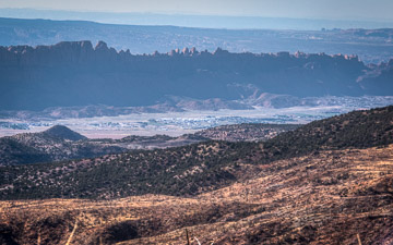
The road west of the pass got very narrow and windy, and included one scary looking section where we drove for a couple hundred yards over a gravel pile on the side of Tukuhnikivatz. We also passed an area recovering from a big fire.
Soon we got to the Pack Creek area, back to pavement, and headed into Moab through Spanish Valley.
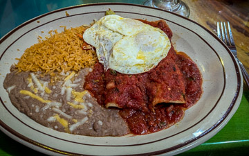
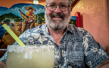
We celebrated with Margaritas and Mexican food at Fiesta Mexicana.
